ھۆججەت:Pioneer Valley South From Mt. Sugarloaf.jpg
بۇ ئالدىن كۆزىتىشنىڭ چوڭلۇقى: 800 × 600 پىكسېل. باشقا چوڭلۇقى: 320 × 240 پىكسېل | 640 × 480 پىكسېل | 1,024 × 768 پىكسېل | 1,280 × 960 پىكسېل | 2,272 × 1,704 پىكسېل.
ئەسلى ھۆججەت (2,272 × 1,704 پىكسېل، ھۆججەت چوڭلۇقى: 808 KB، MIME تىپى: image/jpeg)
ئۈزۈندە
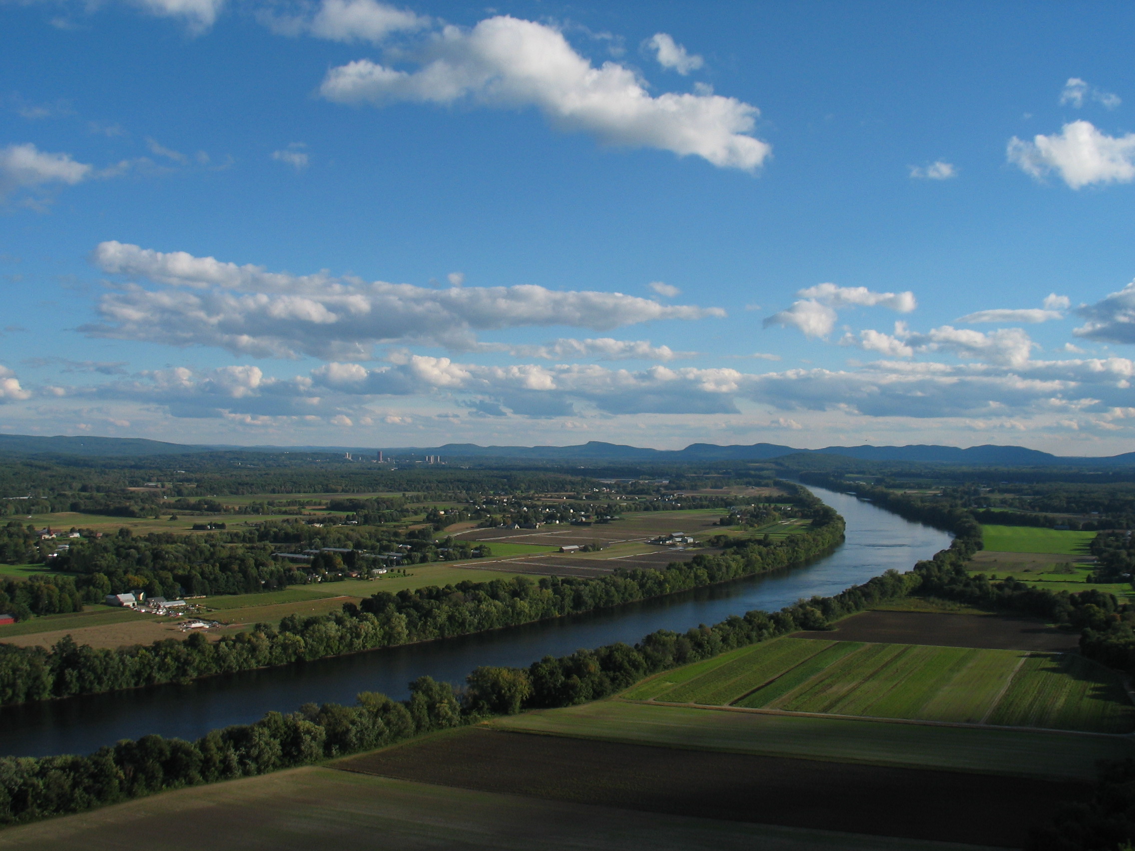
| چۈشەندۈرۈش | The Connecticut River and Pioneer Valley of Massachusetts. Looking south from Mt. Sugarloaf in Deerfield, toward the towns of Sunderland, Amherst and Whately. The buildings of the University of Massachusetts Amherst can be seen in the distance to the left, and farther off, the Holyoke range of mountains. |
| چېسلا | |
| مەنبە | Transferred from en.wikipedia to Commons. |
| يازغۇچى | The original uploader was BenFrantzDale at ئىنگلىزچە ۋىكىپېدىيە. |
| Other versions | cropped & labeled Mount Holyoke Range in German: Image:Pioneer_Valley_South_From_Mt._Sugarloaf_cropped,Namen.jpg |
ئىجازەت
| This file is licensed under the Creative Commons Attribution-Share Alike 3.0 Unported license. Subject to disclaimers. | ||
| ||
| This licensing tag was added to this file as part of the GFDL licensing update. |

|
Permission is granted to copy, distribute and/or modify this document under the terms of the GNU Free Documentation License, Version 1.2 or any later version published by the Free Software Foundation; with no Invariant Sections, no Front-Cover Texts, and no Back-Cover Texts. A copy of the license is included in the section entitled GNU Free Documentation License. Subject to disclaimers. |
Original upload log
The original description page was here. All following user names refer to en.wikipedia.
- 2004-10-16 20:40 BenFrantzDale 2272×1704×8 (827549 bytes) Pioneer Valley South From Mt. Sugarloaf
ھۆججەت تارىخى
چېسلا/ۋاقىت چېكىلسە ئەينى ۋاقىتتا كۆرۈلگەن ھۆججەتنى كۆرسىتىدۇ.
| چېسلا/ۋاقىت | كىچىك سۈرەت | ئۆلچەم | ئىشلەتكۈچى | ئىزاھات | |
|---|---|---|---|---|---|
| نۆۋەتتىكى | 05:18, 19 ئۆكتەبىر 2007 | | 2,272 × 1,704 (808 KB) | Ibn Battuta | {{Information |Description=The Connecticut River and Pioneer Valley of Massachusetts. Looking south from Mt. Sugarloaf in Deerfield, toward the towns of [[:en:Sunderland, M |
ھۆججەت ئىشلىتىلىشى
تۆۋەندىكى بەت بۇ ھۆججەتنى ئىشلىتىدۇ:
ئورتاق ھۆججەت ئىشلىتىلىشى
تۆۋەندىكى باشقا ۋىكىلار بۇ ھۆججەتنى ئىشلىتىدۇ:
- af.wikipedia.org دىكى ئىشلىتىشى
- ar.wikipedia.org دىكى ئىشلىتىشى
- arz.wikipedia.org دىكى ئىشلىتىشى
- ba.wikipedia.org دىكى ئىشلىتىشى
- be.wikipedia.org دىكى ئىشلىتىشى
- bg.wikipedia.org دىكى ئىشلىتىشى
- ceb.wikipedia.org دىكى ئىشلىتىشى
- cy.wikipedia.org دىكى ئىشلىتىشى
- da.wikipedia.org دىكى ئىشلىتىشى
- de.wikipedia.org دىكى ئىشلىتىشى
- el.wikipedia.org دىكى ئىشلىتىشى
- en.wikipedia.org دىكى ئىشلىتىشى
- en.wikiquote.org دىكى ئىشلىتىشى
- es.wikipedia.org دىكى ئىشلىتىشى
- fa.wikipedia.org دىكى ئىشلىتىشى
- fo.wikipedia.org دىكى ئىشلىتىشى
- gl.wikipedia.org دىكى ئىشلىتىشى
- hy.wikipedia.org دىكى ئىشلىتىشى
- incubator.wikimedia.org دىكى ئىشلىتىشى
- it.wikipedia.org دىكى ئىشلىتىشى
- pl.wikipedia.org دىكى ئىشلىتىشى
- pl.wiktionary.org دىكى ئىشلىتىشى
- tl.wikipedia.org دىكى ئىشلىتىشى
- tr.wikipedia.org دىكى ئىشلىتىشى
- www.wikidata.org دىكى ئىشلىتىشى